Distance from Parchin to Tehran: A Guide to the Fastest and Shortest Route
Parchin, located southeast of Tehran and northeast of Pakdasht County, contrary to common belief, is more integrated into the urban environment surrounding Tehran than being a remote area. As a result, much of the route from Parchin to Tehran passes through urban zones. Given that the distance from Tehran to Pakdasht is approximately 40 to 45 kilometers and typically takes about one hour to travel, this article focuses on a more detailed analysis of the distance and routes from Parchin to Tehran, current traffic conditions, transportation options, and guidance on choosing the most efficient route.
Recommended Routes from Parchin to Tehran
Distance from Parchin to Tehran: A Guide to the Fastest and Shortest Route
Traveling from Parchin to Tehran involves a relatively short route that remains largely within urban boundaries. The journey begins by heading north from Parchin into the Pakdasht area. If you’re wondering how to travel from Pakdasht to Tehran, the main route starts in the eastern part of Pakdasht County and continues after passing through Sharifabad and Firoonabad, eventually reaching Qarchak.
The route then passes through Qiamdasht, which is the last major stop before entering the Tehran metropolitan area.
After passing Qiamdasht, you enter Rey County, traveling through areas such as Deh-Kheir Hosseini and Khavarshehr. The road continues toward Kahrizak, then through Baghershahr, leading into the southern districts of Tehran. From there, access to key locations such as Shahr-e Rey, Azadegan Highway, and Azadi Square is easily available.
The distance from Qiamdasht to Tehran is approximately 15 to 20 kilometers, which typically takes 20 to 30 minutes under normal traffic conditions. Overall, the full route from Parchin to central Tehran spans about 46 to 50 kilometers, with travel time ranging from 45 to 60 minutes, depending on traffic and departure time.
This route runs along major urban and intercity roads, and travelers can take advantage of facilities such as gas stations, shops, restaurants, and small rest areas along the way.
Rest and Accommodation Facilities Along the Parchin–Tehran Route
Distance from Parchin to Tehran: A Guide to the Fastest and Shortest Route
Along the route from Parchin to Tehran, travelers have access to a variety of convenience and service facilities, including gas stations, restaurants, and rest areas. In addition, cities located along the way offer hotels and accommodation options suitable for short breaks or overnight stays, helping make the journey more comfortable and reliable.
Fuel Stations: In areas such as Pakdasht, Qarchak, Firuzabad, and Shahr-e Rey, gas and CNG stations are located near major roads and busy travel routes.
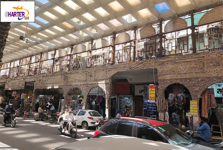
Restaurants and Fast Food: In Qiamdasht, Khavarshehr, Shahr-e Rey, and areas near Tehran’s entry points, there are various dining options, ranging from local and traditional restaurants to fast-food outlets and roadside cafés.
Shops and Supermarkets: In Pakdasht, Qarchak, and roadside neighborhoods, numerous stores and supermarkets are available for purchasing snacks, drinks, and daily necessities.
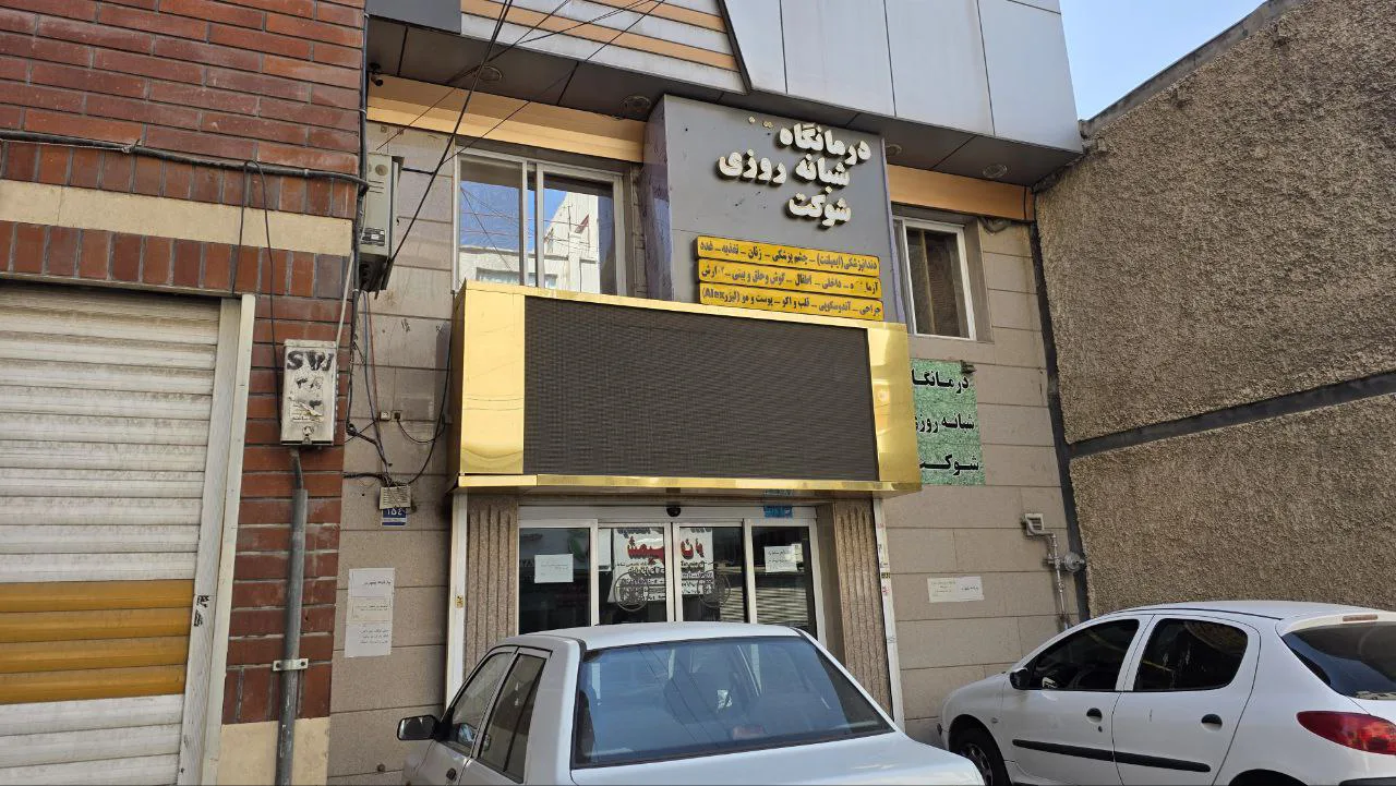
Public Services: Along the route, health centers, public restrooms, and other service facilities—often located near fuel stations—are available to assist travelers.
Additionally, for people entering Tehran from surrounding areas, the routes are relatively short and easily accessible. For example, the distance from Mamazand to Tehran is approximately 50 kilometers, and the trip typically takes less than one hour. Therefore, travelers coming from the eastern or northeastern areas of Pakdasht can also benefit from the same routes and amenities.
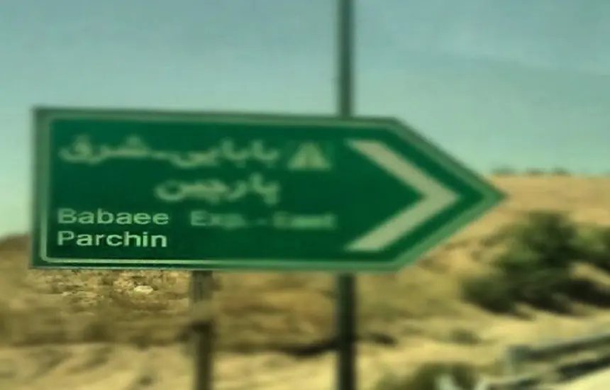
Inside Parchin: Iran’s Most Secretive Military Base Driving Defense Power
Final Thoughts
Although the journey from Parchin to Tehran is relatively short, the overall experience can vary depending on the chosen route, departure time, traffic conditions, and rest stops. Before setting off, it is recommended to use real-time traffic applications (such as Google Maps, Balad, and Neshan) to check current route conditions.
If you plan to rest or stop along the way, consider service areas near Pakdasht or Firuzabad. If your travel time is flexible, choosing off-peak hours can make your trip smoother, calmer, and more enjoyable.